Web-based EGC service. Live feed directly from the Inmarsat satellites.
Live messages 24/7 fed by the tekmanoid decoder.
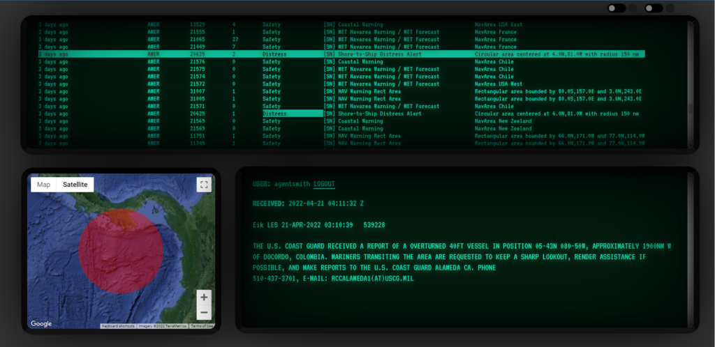
Compared to the decoder though, only regular geographical areas (circles/rectangles) are shown on map.
Maritime messages containing: navigational warnings, SAR operations, military firing exercise areas, meteorological warnings, tsunami warnings etc
Sat Status
- EMEA – Europe, Middle East, Africa
 (temp. unavailable) – 25E (IOR)
 - AORE – Atlantic Ocean Region East (temp. unavailable) – 54W
- AMER – America, North, South – 98W (AOR-W)
- APAC – Asia, Pacific Ocean, Australia -143.5E (POR)
Contact me if you want to be a ‘feeder’ for the locations that are not served.